Our Services
Services
Drone Mapping
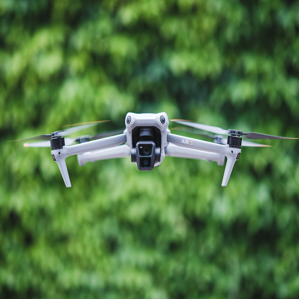
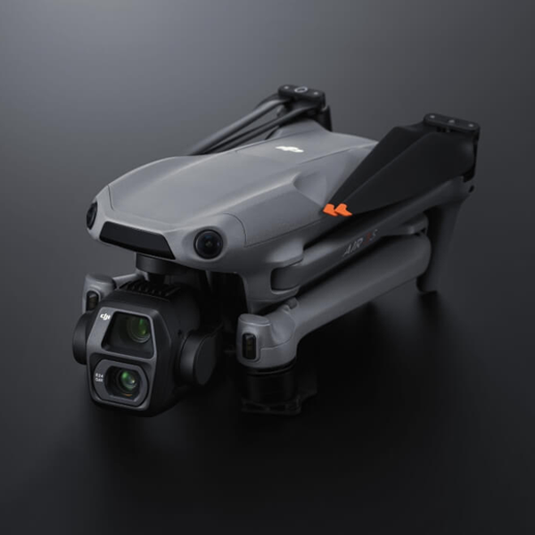
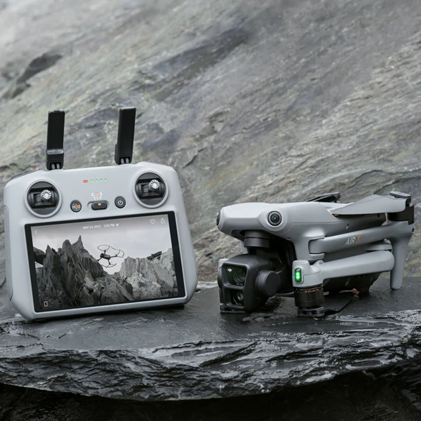
SkyHawk Drone Services LLC provides precise drone mapping tailored to your project’s needs. Our advanced drone technology captures high-resolution imagery, generating accurate 2D and 3D maps with minimal error. From construction sites to real estate developments, we ensure complete data coverage using the best equipment, including 4K/60fps cameras and a 1-inch sensor. We handle everything from planning the flight path to delivering actionable outputs such as orthomosaics, point clouds, and elevation models. Our efficient process saves time while delivering high-quality, reliable data for informed decision-making.


Services
Project Progression
SkyHawk Drone Services LLC offers project progression services to track and monitor site development from start to finish. Our drones capture aerial imagery at regular intervals, providing clear visual documentation of project milestones. By comparing the captured data over time, we offer detailed reports on project timelines, ensuring that your construction or real estate development stays on track. With our advanced sensors and technology, we deliver precise, up-to-date insights, allowing you to make informed decisions and maintain a smooth workflow, all while minimizing disruptions to the project site.
Services
Aerial Photography
SkyHawk Drone Services LLC specializes in high-quality aerial photography for construction, real estate, and surveying projects. Using advanced drone cameras with 4K resolution and optical zoom, we capture sharp, clear images from various angles and elevations. Our aerial shots provide a unique perspective that enhances site analysis, marketing materials, and presentations. Whether for site assessments, project updates, or promotional purposes, our professional photography ensures accurate, compelling visuals to support your project’s goals. Trust us for high-definition aerial images tailored to your specific needs.

