
About Us
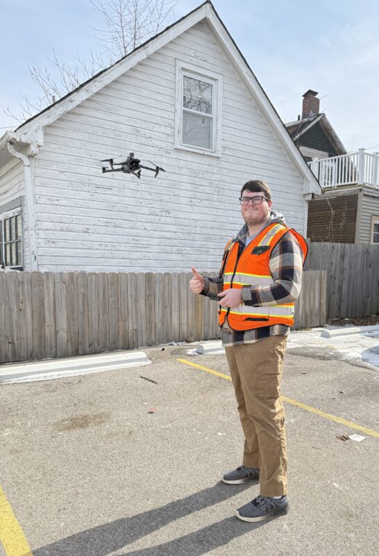
SkyHawk Drone Services LLC is driven by thee belief that powerful insights come from precise, real-time data. We provide construction, surveying, and real estate professionals with advanced drone mapping, project tracking, and aerial photography solutions that enhance decision-making and drive project success. Led by Jake Britton, a Part 107 Certified Drone Pilot, our team combines technical expertise with years of experience to ensure that every project meets the highest industry standards. Jake’s hands-on experience and commitment to quality ensure every project exceeds expectations, helping clients achieve clarity and efficiency from the sky.
With our dedication to innovation, full insurance coverage, and a passion for precision, SkyHawk Drone Services LLC is ready to elevate your projects to new heights.
Why Choose Us
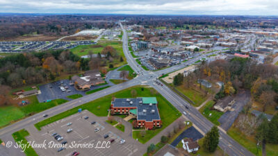
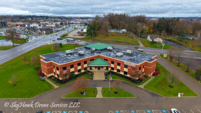
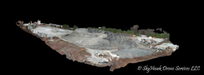
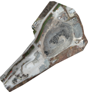
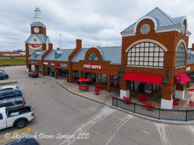
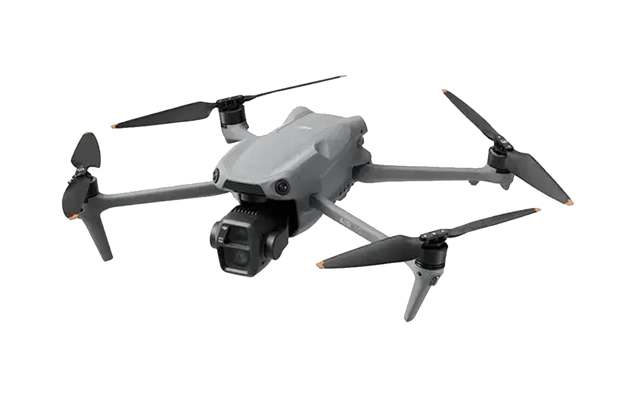
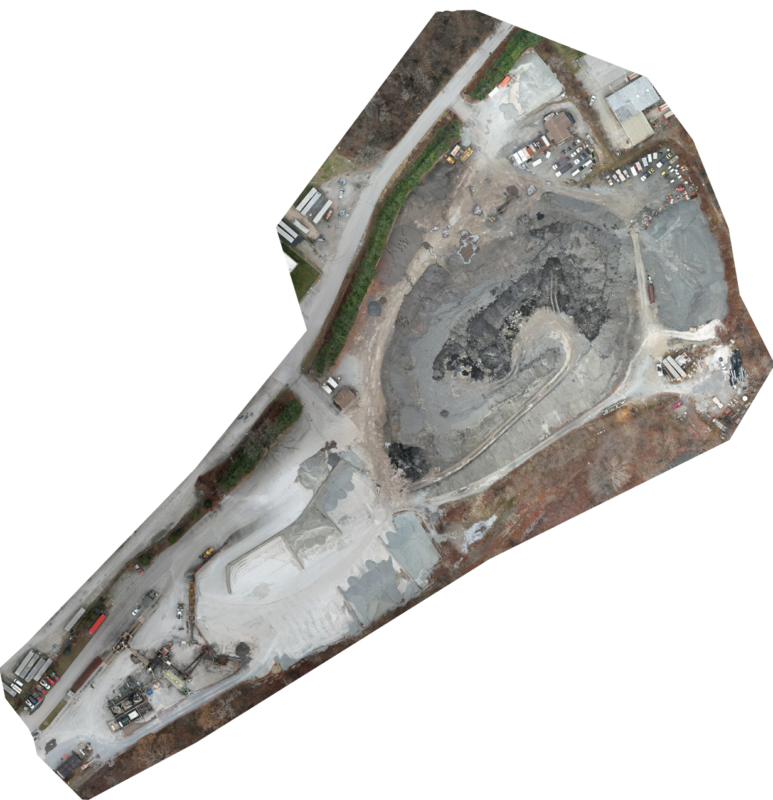
Choosing SkyHawk Drone Services LLC means partnering with a team that brings precision, expertise, and reliability to every project. We expertly use photogrammetry technology to deliver highly accurate drone mapping services. This lets us provide detailed, real-time data for construction, surveying, and real estate projects, ensuring you make informed decisions. Our services, including project progression tracking and aerial photography, help you monitor progress, improve site planning, and enhance marketing efforts.
Additionally, with full insurance coverage, we offer peace of mind, knowing that your projects are safe, from initial flight to final deliverables. We combine technology with a commitment to quality to support your success at every stage.
What We Offer

Drone Mapping
Drone Mapping

Project Progression
Project Progression

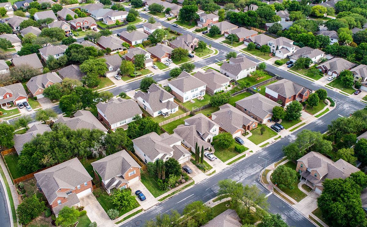
Aerial Photography
Aerial Photography
Best Photogrammetry Services

4K/60fps
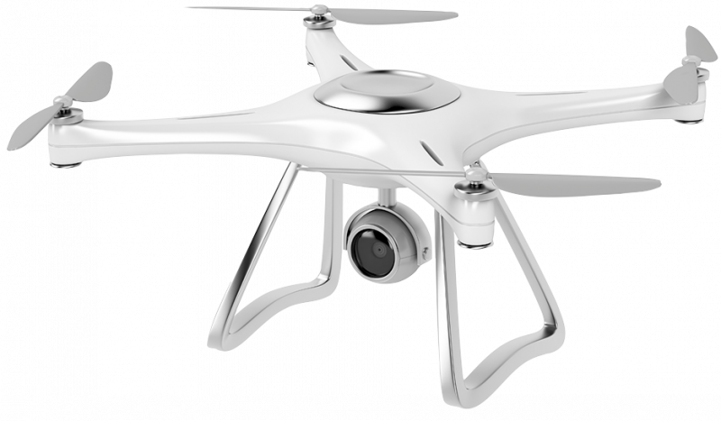
Capture crystal-clear, high-definition footage with 4K/60fps resolution, ensuring professional quality for every aerial shot.

3x Optical Zoom
Get detailed close-ups from a safe distance with our drone’s 3x optical zoom feature without compromising quality.
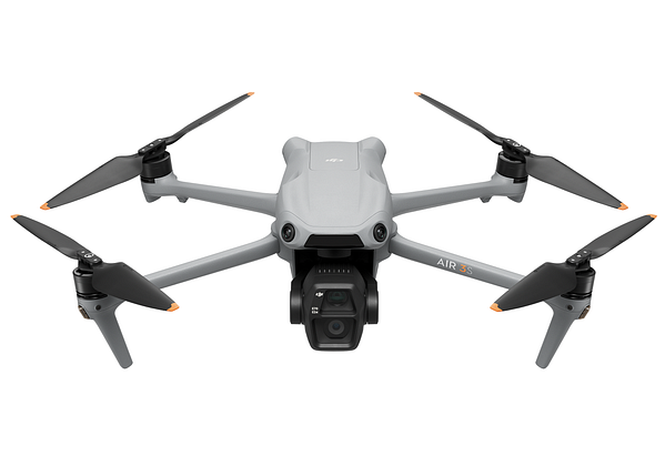

1-Inch Sensor
Benefit from superior image clarity and enhanced low-light performance with our drone’s 1-inch sensor technology.

45-Minute Flight
Maximize productivity with up to 45 minutes of flight time, covering large sites efficiently in one session.
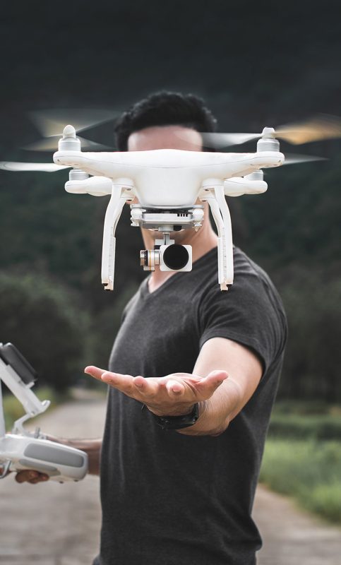
Providing Best Drones Services
Lorem Ipsum is simply dummy text of the printing and typesetting industry. Lorem Ipsum has been the industry’s standard dummy text ever since the 1500s, when an unknown printer took a galley of type and scrambled it to make a type specimen book. It has survived not only five centuries, but also the leap into electronic typesetting, remaining essentially unchanged. It was popularised in the 1960s with the release of Letraset sheets containing Lorem Ipsum passages.
- What is Lorem Ipsum?
- What is Lorem Ipsum?
- What is Lorem Ipsum?

Our Blogs
The Incarnation and Evolution of Drone Mapping
Drone mapping has evolved dramatically from its early conceptual stages to a sophisticated tool used across various industries today.
Unlocking the Power of Drone Mapping for Businesses
Drone mapping has emerged as a game-changing technology, revolutionizing the way businesses, governments, and individuals collect, analyze.
How to Choose the Right Professional Drone Mapping Service?
Drone mapping services offer precise, accurate data that can be critical for a variety of industries, including construction, surveying, and real estate.
Subscribe Our Newsletter
