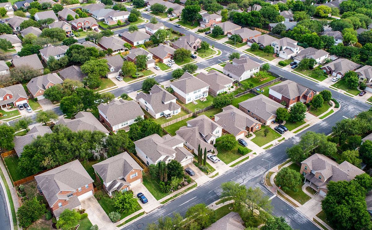
Drone mapping has emerged as a game-changing technology, revolutionizing the way businesses, governments, and individuals collect, analyze, and utilize spatial data. This guide delves into the intricacies of drone mapping, exploring its vast potential, applications, and budget-friendly solutions.
The Drone Mapping Ecosystem: Understanding the Key Components
- Hardware: Drones, cameras, sensors, and GPS systems converge to form the hardware backbone of drone mapping.
- Software: Sophisticated software solutions, such as Pix4D, DroneDeploy, and ESRI, enable data processing, analysis, and visualization.
- Data: The lifeblood of drone mapping is that data is collected, processed, and transformed into actionable insights.
Unleashing the Power of Drone Mapping: Applications and Use Cases
- Construction and Infrastructure: Monitor progress, inspect sites, and create detailed 3D models for planning and analysis.
- Agriculture: Analyze crop health, detect issues, and optimize irrigation systems.
- Environmental Monitoring: Track changes in land use, detect natural disasters, and monitor wildlife habitats.
- Surveying and Mapping: Create accurate topographic maps, detect changes in terrain, and update existing maps.
Choosing the Right Drone for Mapping: A Balanced Approach
- Camera Resolution: High-resolution cameras (20MP or higher) are essential for capturing detailed images.
- Sensor Accuracy: Advanced sensors, such as GPS, GLONASS, and RTK, ensure precise positioning and accurate data collection.
- Flight Time and Range: Drones with extended flight times (30 minutes or more) and ranges (5 km or more) are ideal for large-scale mapping projects.
- Payload Capacity: Drones with higher payload capacities (1 kg or more) can carry advanced sensors, cameras, and other equipment.
Budget-Friendly Options: Democratizing Drone Mapping
- DJI Phantom 4 RTK: A cost-effective, entry-level drone for mapping, offering high-precision positioning and accurate data collection. ($1,500 - $2,000)
- Yuneec H520 RTK: A budget-friendly, six-rotor hexacopter offering high-precision positioning, interchangeable gimbals, and a 20MP camera. ($1,000 - $1,500)
Overcoming the Challenges: Integration, Regulation, and Education
- Integration: Seamless integration with existing workflows and software solutions is crucial for widespread adoption.
- Regulation: Clear regulations and guidelines are necessary to ensure safe and responsible drone operations.
- Education: Training and education programs can help bridge the knowledge gap and foster a skilled workforce.
Conclusion: Embracing the Future of Drone Mapping
Drone mapping has transcended its niche status, emerging as a transformative technology with far-reaching implications. As we continue to push the boundaries of innovation, it's essential to acknowledge the challenges and opportunities that lie ahead. By embracing the power of drone mapping, we can unlock new efficiencies, drive growth, and create a better future for all.

